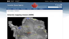
Images from the Antarctic Mapping Mission (AMM) are now available. The goal of the AMM is to complete the mapping of Antarctica using high resolution imaging. The Canadian Space Agency's RADARSAT satellite was launched in 1995, with high resolution mapping of Antarctica beginning September 26, 1997. RADARSAT furnishes standard-2 images of the south pole beginning on September 13.
New images of Antarctica were released today in a collaborative effort between the National Science Foundation, the National Imagery and Mapping Agency, and the DCI Environmental Center. The images, which were recently declassified, provide "the first high-resolution, digital terrain-elevation model of the region, yielding accurate elevation data every 20 meters." A spectacularly clear,...