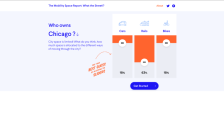
Described as a "puzzle of urban mobility space," What the Street!? explores how major cities around the world allocate their mobile space. Using OpenStreetMap software, data scientists and designers Michael Szell and Stephan Bogner creatively graphed parts of major cities' infrastructure. Currently, more than 20 cities are available, including Beijing, Chicago, Rome, and Johannesburg. To select a...