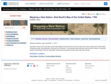
What did explorers and others know of the United States in 1784? It's a fine question and one that has fascinated historians, geographers, and others for decades. This gem of an online exhibit looks at a map created in March of 1784 by Connecticut engraver, Abel Buell. It is in fact the very first map of the newly independent United States compiled, printed, and published in America by an...
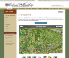
Are you eager to see Colonial Williamsburg but find yourself many miles from Hampton Roads? You can take a most edifying interactive tour of this most famous site, courtesy of The Colonial Williamsburg Foundation. Visitors just need to Launch Tour the Town and they will be whisked away to the world of 18th century Virginia. It's fun to just click on random buildings (such as the coffeehouse) to...