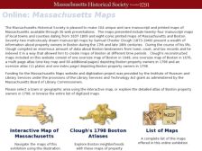
The Massachusetts Historical Society continues to offer new digital resources on the Bay State with this fine collection of 104 unique and rare manuscript and printed maps. Support for this digitization project came from the Institute of Museum and Library Services (IMLS), and visitors will want to start by looking through Clough's 1798 Boston Atlases. Samuel Chester Clough spent a good deal of...