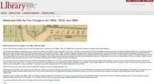
Do you ever wonder what Chicago looked like before the Great Fire of 1871? The University of Chicago's Map Library has digitized an entire slew of wonderful maps that document Chicago's urban landscape before and after that traumatic conflagration. The growth of the city during that time was great indeed, transforming the small city from a population of 109,000 to more than one million by the...
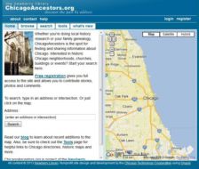
If you want to peer into Chicago's past, block-by-block, you should definitely give the Chicago Ancestors website a look. The site is a project of the Newberry Library and its goal is "to help genealogists and local historians discover and share historical information about Chicago." The funding for the project came from the Illinois State Library, which used funds provided by the Institute for...
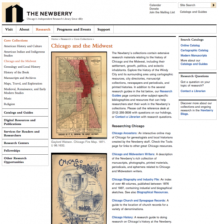
Located in the Gold Coast neighborhood of Chicago, the Newberry Library is one of the country's most distinguished private research libraries. This particular corner of its lovely website brings together digital collections as well as a detailed research guide to all things Chicago and Midwestern. Here, visitors can avail themselves of cartographic resources, city directories, manuscript...
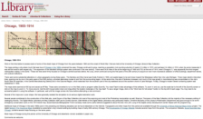
What was Chicago like in the first decade or so of the twentieth century? More importantly, how was it mapped? This rather engaging map collection from the University of Chicago Library offers up almost two dozen maps documenting the railroads, parks, and rapid transit system of the Windy City as it existed during that frenetic time. Visitors can zoom in and out around these maps looking for...
The quest to document one's family tree is one that stretches back across the human experience, and it can be done through the use of government records, obituaries, and so on. Recently, the Newberry Library in Chicago created this site for persons looking to trace their roots within the Windy City. First-time visitors to the site can just go ahead and type in a street address or browse through...
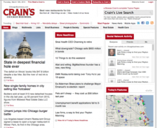
Crain's Chicago Business is the go-to site for the latest information on business matters in the Windy City. They also do a nice job of covering other topics, such as culinary adventures, public policy, and architecture. On its homepage, visitors can read over Headline stories (some are available at no cost, some require registration) or browse a list of the Most Popular stories as well. Visitors...
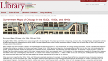
The University of Chicago Map Library has worked diligently to digitize hundreds of their unique and rare maps in the past few years. Their holdings of maps that document the history of Chicago is quite strong, and this collection casts its gaze in that direction. These maps were generated by a number of government agencies, including the Chicago Zoning Commission, the Chicago Plan Commission, the...
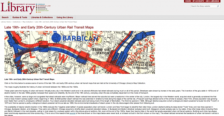
The last decades of the 19th century and those of the early 20th century were the heyday of urban rail transit around the world. These remarkable maps from the University of Chicago Library's Map Collection illustrate the history of such matters between the 1860s and the 1920s. On its homepage, the site offers a bit of historical context on the development of such systems and visitors would do...
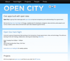
Are you interested in improving civic culture and knowledge with apps? If so, you will be delighted to learn about the Open City site. The Open City folks are a group of programmers, citizen activists, and policy types that create apps with open data in order "to improve transparency and understanding of our government." Chicagoans can stop by the Merchandise Mart to meet up and work with Open...
Designed to serve the needs of the University of Chicago community and its many visiting scholars, the University of Chicago Map Collection contains approximately 420,000 maps, 10,000 air photos, and 2000 books. While only a small fraction of these materials can be found on this site, scholars and members of the general public will be delighted to learn that many maps that document the changes...