Geographers, historians, and urban planners all enjoy the fantastic Sanborn maps, which were produced from 1867 to 1977 by the Sanborn Company of Pelham, New York. Each map offers a snapshot of the built environment the town or city it covers, complete with information about fire alarms, water mains, sidewalks, frontage, and a host of other germane details that could be used for insurance...
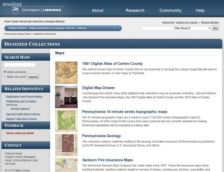
Maps of the Keystone State are in abundance here, and there are some rare surprises among this bunch. The site was created by the Pennsylvania State University Libraries and it contains five separate areas for cartographers, historians, and others who love spatial relationships. First up is the 1861 Digital Atlas of Centre County. Centre County is home to State College, PA and the interface here...