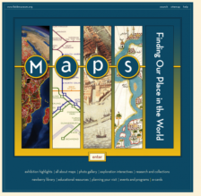
How do we find our way through the world, geographically speaking? Do we all carry around a type of "mental map" in our head, formed through experience and repetition? Some would say yes, some would beg to differ. Maps remain a powerful way to represent the world in all its spatial glory, and this online exhibit from The Field Museum explores the history of maps and their history over the...
The National Library of Scotland has three collections of maps online: Maps of Scotland, 1560-1928; Pont's Map's of Scotland, ca. 1583 - 1596; and Military Maps of Scotland. Maps of Scotland contains 800 early maps -- including maps of the whole country, county maps, town plans, and sea charts -- while the Pont's Map's of Scotland contains 77 manuscript maps made by Timothy Pont. On the search...
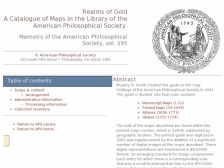
As one of the oldest learned societies in North America, the American Philosophical Society (APS) is distinguished by its fine holdings, and as users will find out at this site, also by their fine collection of antiquarian and tremendously valuable maps. On this site, visitors will find the digital version of the APS's map holdings, originally created by Murphy D. Smith in 1991. Cartographers,...
This site is a recent addition to an exitsing Library of Congress (LOC) American Memory Project (last reviewed in the April 30, 1999 Scout Report) collection. The 1562 Map of America by Diego Gutierrez has been placed on the Discovery and Exploration Maps Collection page. Truly one of the LOC's greatest treasures, this handsomely engraved 1562 map of the Americas comes complete with images of sea...
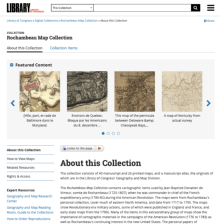
Military maps continue to fascinate the general public, and this collection from the American Memory Project at the Library of Congress will be of great interest to those with a penchant for American history and cartography. This particular collection contains maps collected and used by Jean Baptiste Donatien de Vimeur, comte de Rochambeau during the American Revolution. Rochambeau served as the...
Developed as part of President Franklin D. Roosevelt's massive package of assistance programs designed to pull the United States out of the Great Depression, the Works Progress Administration (WPA) was known for employing thousands of artists to paint murals in federal buildings and for also employing thousands of the nations' unemployed in hundreds of massive construction projects around the...