Landsat Next Defined

Landsat Next Defined

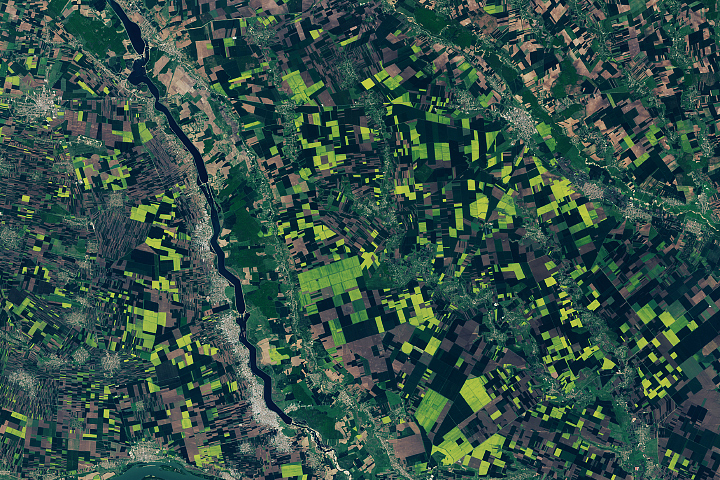
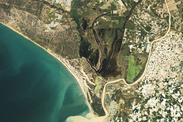
Landsat Next is on the horizon—the new mission will not only ensure continuity of the longest space-based record of Earth’s land surface, it will fundamentally transform the breadth and depth of actionable information freely available to end users. Take a look at the new capabilities that will define the next Landsat mission.

Read More »
Landsat Next Defined

Landsat Next Defined

Landsat Next is on the horizon—the new mission will not only ensure continuity of the longest space-based record of Earth’s land surface, it will fundamentally transform the breadth and depth of actionable information freely available to end users. Take a look at the new capabilities that will define the next Landsat mission.

Read More »

“Those are the Islands of the Four Mountains… The Landsat image shows them on June 8, 2013… One of the things I love about science is how it gives us perspective.”


“Landsat has really become the gold standard of remote sensing from space. It’s provided an invaluable, indelible record of the recent history of our planet.”


“When I arrived in Gombe 50-plus years ago, looking up at the stars, it never occurred to me that one day, we’d be relying on remote sensing—satellites circling the globe high above—to help unite communities of people and save Gombe’s chimpanzees. NASA—through its resources and data and funding—is helping us to apply the kinds of innovative solutions needed to address the complex problems people and chimpanzees face today.”


“We like to think about Landsat as being, for this particular problem, sort of the sweet spot—the perfect asset. We found Landsat was really good at mapping the bulk of biomass for this particular test area we were looking at.”


“There is no more powerful tool for tracking land change through time than the Landsat series of satellites.”


“Landsat 9 data will be delivered in a format that is consistent with currently available data from the previous Landsat satellites. This provides an unbroken story of land changes through over 40 years of Earth observation data.”


“An alert system operating at the scale presented here depends on systematic global acquisitions, robust preprocessing, and free and accessible data. Only Landsat has these criteria at medium spatial resolutions, with Sentinel aspiring to emulate Landsat.”


“I am a big fan of Landsat 8 satellite images as a resource when making maps.”


“A sizable portion of our greenhouse gas contribution to the atmosphere comes from land use. And having Landsat data to look back to the 1970s, from there to now, you can then calculate or approximate year-by-year what that contribution is, and that’s extremely important.”


“Since late 2008, when Landsat data was made available to all users free of charge, over 22 million Landsat scenes have been downloaded through the USGS-EROS website—and the rate of downloads is still increasing.”


“Landsat is key to a wide range of applications that support global glacier monitoring and elucidate the impacts of global climate change.”


“The long time span covered by the Landsat scenes allows us to determine long-term flow velocity trends. The high temporal resolution lets us analyze seasonal flow velocity variations of numerous outlet glaciers…The monitoring system provides a powerful tool to examine the flow velocity pattern throughout time and space, and we have detected an acceleration pattern for a number of outlet glaciers.”


“I saw more use of Landsat as the gold standard of calibration than I’ve ever seen in the past. Most of the commercial vendors I heard from called out Landsat as the gold standard. Even the European vendors called out Landsat, which I thought was unique.”


“The Landsat Program continues to be one of the most valuable, respected, and referenced Earth observation programs in the world.”


“Landsat, now one of the largest and most powerful tranches of Earth-science data, is an invaluable scientific resource.”


“The ability to see what was happening through time through Landsat imagery helped us tremendously… from sea-level, we hadn’t seen the signs of retreat that the Landsat imagery showed us—the diminishing of the glaciers, of the size and mass of the glaciers. It rocked our world. It truly changed the narrative of interpretation in Glacier Bay. The story that we shared with visitors about glaciers in Glacier Bay was transformed by that information.”


“You need decades of data to say that a change in kelp is due to climate change rather than other cyclical factors, with Landsat, we have those data.”


“The key role of Landsat in the context of climate change is to document the impact of climate change on global ecosystems, which is highly relevant for the future availability of food, water, and fiber resources, as well as the provision of ecosystem services including biodiversity.”


“A sizable portion of our greenhouse gas contribution to the atmosphere comes from land use. And having Landsat data to look back to the 1970s, from there to now, you can then calculate or approximate year-by-year what that contribution is, and that’s extremely important.”


“Landsat data is assimilated into our estimation system and therefore provides the key constraint on our snowpack estimates. Without Landsat data this analysis would have to be done in a modeling context or using limited in situ data and therefore would have significantly higher uncertainties.”


“The success of a mission, and the societal benefits it creates, relies on many factors, including design, manufacture, launch, and operation of the sensor. However, it also includes data acquisition, accessibility, availability, and continuity, all of which are embodied by the Landsat program.”


“I can’t imagine what it would be like to describe what this volcano did without having a time series of Landsat.”


Landsat 9 bw
Landsat 9 bw
Landsat 9 bw

The NASA/USGS Landsat Program provides the longest continuous space-based record of Earth’s land in existence. Landsat data give us information essential for making informed decisions about Earth’s resources and environment.